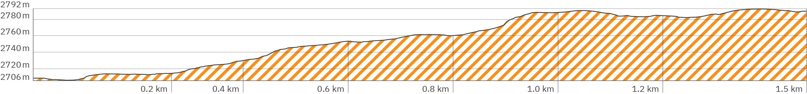
Kilimanjaro – Marangu Route – Pano kja-159 – Short hike to Maundi Crater
> Start at sunset after finishing the
first stage at the Mandara Huts – follow yellow arrows
> Find the panos to look around the huts
at the end of the panoramic tour to the first stage (link also in pano)
> Also starting point for the 2nd stage {https://hikingtrailview.com/de/rennsteig-virtuelle-360-panoramatour/kilimandscharo-kilimanjaro-Marangu-Route-etappe-stage-2/} on the Marangu Route
up to the summit of Kilimanjaro (link also in pano)
Kilimanjaro – Marangu Route – Pano kja-160 – Short hike to Maundi Crater
> Flat clay path, slightly uphill
Kilimanjaro – Marangu Route – Pano kja-163 – Short hike to Maundi Crater
> Stony and uneven, further slightly uphill
Kilimanjaro – Marangu Route – Pano kja-164 – Short hike to Maundi Crater
> Flat again, barely uphill
Kilimanjaro – Marangu Route – Pano kja-167 – Short hike to Maundi Crater
> More uphill, shaded by dense vegetation
Kilimanjaro – Marangu Route – Pano kja-168 – Short hike to Maundi Crater
> Longer clay steps, steeper uphill, without shade
Kilimanjaro – Marangu Route – Pano kja-169 – Short hike to Maundi Crater
> Rocky and uneven, steeper uphill
Kilimanjaro – Marangu Route – Pano kja-170 – Short hike to Maundi Crater
> Junction: purple arrow follows the opposite hiking direction around the crater rim, Follow yellow arrow for main view
Kilimanjaro – Marangu Route – Pano kja-185 – Short hike to Maundi Crater
> Arrival at the crater rim with a beautiful view into the crater and over the land
> Follow blue arrow around the crater rim
> Link to 2nd stage {https://hikingtrailview.com/de/rennsteig-virtuelle-360-panoramatour/kilimandscharo-kilimanjaro-Marangu-Route-etappe-stage-2/} in pano (the following day)
Kilimanjaro – Marangu Route – Pano kja-172 – Short hike to Maundi Crater
> Very narrow path through dense bushes stronger uphill
Kilimanjaro – Marangu Route – Pano kja-173 – Short hike to Maundi Crater
> Slightly uphill
Kilimanjaro – Marangu Route – Pano kja-175 – Short hike to Maundi Crater
> Wide panoramic view over the country
Kilimanjaro – Marangu Route – Pano kja-177 – Short hike to Maundi Crater
> Slightly downhill
Kilimanjaro – Marangu Route – Pano kja-179 – Short hike to Maundi Crater
> Slightly uphill
Kilimanjaro – Marangu Route – Pano kja-180 – Short hike to Maundi Crater
> Without gradient
Kilimanjaro – Marangu Route – Pano kja-181 – Short hike to Maundi Crater
> Slightly downhill
Kilimanjaro – Marangu Route – Pano kja-184 – Short hike to Maundi Crater
> Turn off back to the huts (orange arrow)